


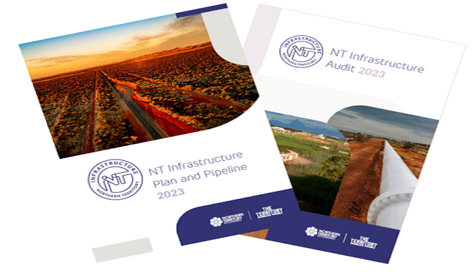
Release of NT Infrastructure Plan and Pipeline 2023 and NT Infrastructure Audit 2023
The NT Infrastructure Plan and Pipeline 2023 provides a detailed roadmap to the investments that will enact sustainable economic growth and improve liveability. The Plan and Pipeline identifies infrastructure that is needed to support both economic and population growth.
This 2023 edition has been significantly informed by the findings of the NT Infrastructure Audit 2023, which provides a strong evidence base to guide future infrastructure investment decision making.
Super Tuesday Bike Count
The Super Tuesday Bike Count collects reliable annual figures of bicycle commuters and their movements on roads and paths.
The Super Tuesday counters collect data from intersections along popular commuter routes, as well as subsidiary routes with lower rider volumes.

21 Jun 2026
Most Popular Datasets
- Northern Territory bore locations, water quality and groundwater levels
- Northern Territory Mineral Titles
- Topographic Data of the Northern Territory - Map Sheet Index 250K
- NT Government Controlled Roads
- Northern Territory Petroleum Wells
- Mapped Streams and Drainage Bodies, Northern Territory
- NT Parks and Reserves
- Awarded government contracts
- NT Crime Statistics March 2026
- NT Crocodile Capture Zones and Daily Count